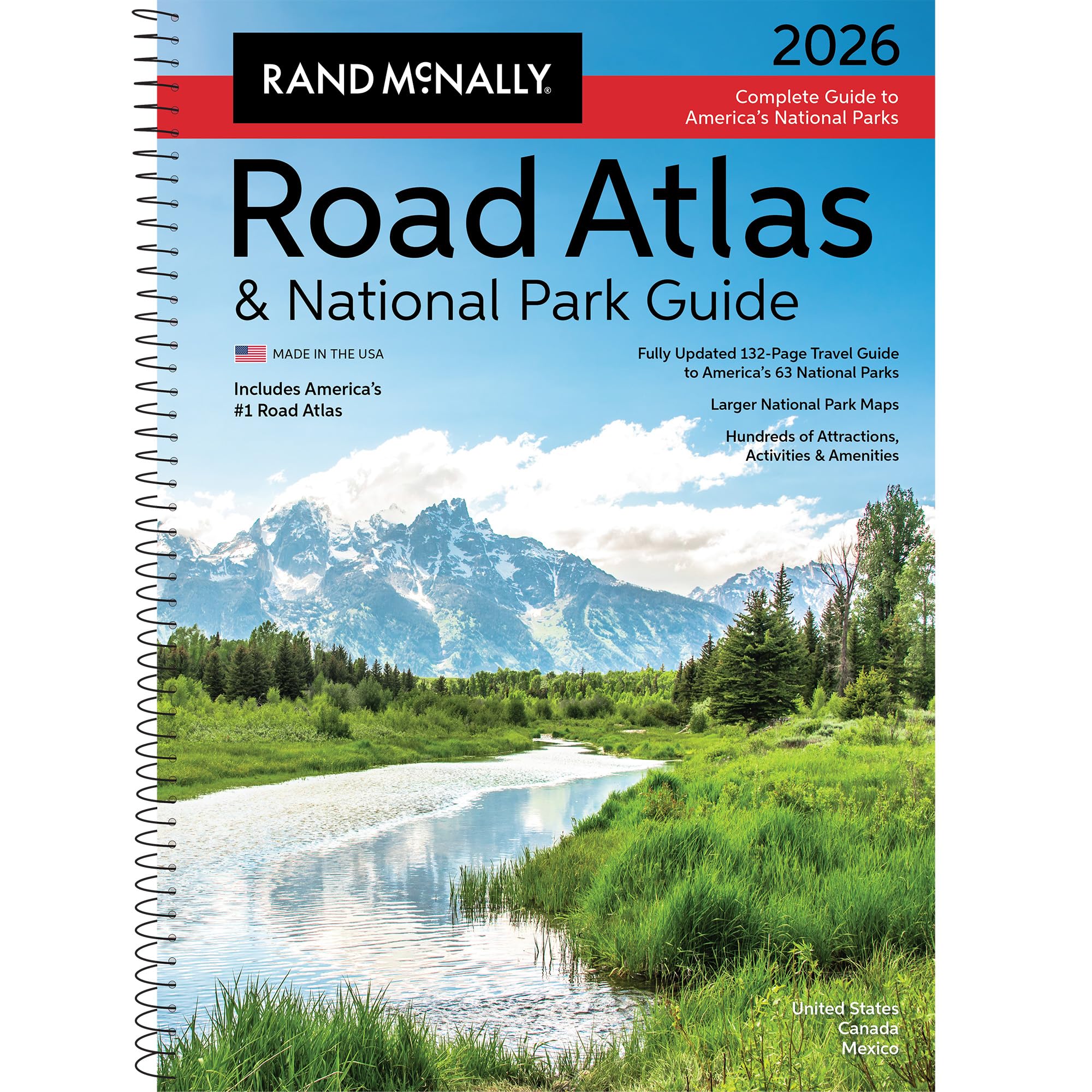
Rand McNally Road Atlas & National Park Guide 2026: United States, Canada, Mexico
4.7 | 448 ratings
Price: 37.99
Last update: 04-18-2026
Product details
- Publisher : Rand McNally
- Publication date : April 14, 2025
- Edition : Updated
- Language : English
- Print length : 274 pages
- ISBN-10 : 0528029320
- ISBN-13 : 978-0528029325
- Item Weight : 2.54 pounds
- Dimensions : 11 x 0.5 x 15 inches
- Best Sellers Rank:#1,034 in Books (See Top 100 in Books)
- United States Atlases & Maps (Books)
- Customer Reviews:4.74.7 out of 5 stars(328)
Top reviews from the United States
- G. E. BishopBetter for planning than GPSBought this to update the 2019 version that got us from RI to Alaska and back. This time we were heading to finish our camping bucket list of visiting all 49 drive-to states in our RV by going to Theodore Roosevelt National Park in North Dakota. For initial planning purposes, paper maps are so much better than online and GPS options. Of course I have both Google Maps and a stand-alone RV GPS on the dashboard while driving. But for large scale planning views the atlas is my primary tool. Nice in this edition is the full complement of national park descriptions and maps. Came in handy several times this trip as we discovered many less popular parks that we might have missed on the drive out and back.
- Rhaelee BooHerGulf of AmericaEveryone should have one of these Atlas's!
This one has details and pictures of the National Parks, there is a great deal of information about each park and best times to visit (storms, temps, busiest times of year and interest sites-festivals, activities).
The road maps are concise and there are vibrant colors of the lines, easily readable for the interstate, Hwy, county roads and these are big enough to see without a microscope.
I picked up the atlas with the national parks 2026, because I needed a more recent one then the 2018 one I had and I wanted to know if Gulf of American would be in it. It Is!!! Gulf of Mexico is in parenthesis underneath for those that are not up to snuff on the times.
Great Job Rand Mcnally!!!
This Atlas has met more then I expected and the GPS's can have all the dead spaces it wants now. I won"t be going through sketchy places to save 5 min.??? don't understand how i saved 5 min with the GPS. The only thing I use GPS for is to find hotel or restaurant now. I trust the Atlas to get me to and direct me on my journeys. - oolaluFantastic ResourceI love having a paper book when traveling cross county. GPS is great but this atlas is amazing for looking ahead and seeing a whole state when you're traveling!
- NaddaclueGreat Map!GPS is great when it’s working, but everyone should have a paper map in the car “just in case”. I’m enjoying the info on national parks, it’s like a bonus to normal maps & being spiral bound makes it easy to use. So glad I took a chance on this one after reading a few reviews saying the pages weren’t bound well. Mine is perfect.
- William A BourneI don't use GPSI am 73 years old and I have used GPS and I have found errors and the screen is small on your phone. I like maps as you can see the bigger picture. I started collecting maps as a kid when gas stations gave out free maps. Rand McNally has been printing maps for 150 years! Whereas the gas stations stopped doing maps around the 1990's. Rand McNally has continued to print maps. I like the spiral bound version the best. This version contains extensive information on the National Parks. So if you want an updated version this will meet your needs. Makes a great gift to your travelers friends!
- swblakeSometimes, 'analog' trumps digitalFirst of all, I'll admit, I came of age with Rand McNally maps. I'm 73, and I utilize all the technology out there for our many trips in retirement. Android Auto tagged to Google Maps is a bulletproof combination, as long as you download maps in Google Maps *BEFORE* you drive thru an area that has no cell coverage. We just took US-50 and US-6 across northern Nevada. It's called the "loneliest highway" for a reason. You can go a half-hour without seeing another human being. NO cell coverage. NO call boxes. NO gas stations for nearly 140 miles on one stretch. It's suddenly 1970 again! That's when, if you have any routing uncertainty, out comes the Rand McNally. It's also great for the "big overview" a GPS or smartphone can't give you. We like the National Parks version because it has a TON of useful info. If you travel a lot, I highly recommend the Rand McNally. Digital isn't always the best route.
- Michael ThompsonQualityVery nice
- Amazon CustomerA must-have for touring the National Parks!Visiting every National Park is on our family's bucket list. We've been to 12 so far, and we know that on several of those trips if we'd had a map our experiences would have been even better. This Atlas is beautifully put together. We love to read about the park, highlight the routes we took, etc.